|
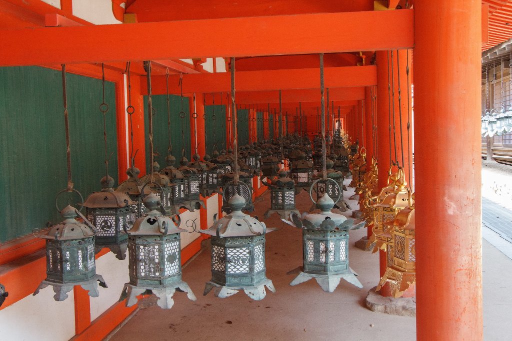 |
| 14-Kasuga Taisha | |
| Latitude: N 34°40'52,01" | Longitude: E 135°50'53,28" | Altitude: 158 metres | Location: ByakukÅjichÅ | City: Kasuganochou | State/Province: Naraken | Country: Japan | Copyright: Ron Harkink | See map | |
| Total images: 22 | Help | |
|
|
|
| 14-Kasuga Taisha | |
| Latitude: N 34°40'52,01" | Longitude: E 135°50'53,28" | Altitude: 158 metres | Location: ByakukÅjichÅ | City: Kasuganochou | State/Province: Naraken | Country: Japan | Copyright: Ron Harkink | See map | |
| Total images: 22 | Help | |